Virtual Pacific Crest Trail
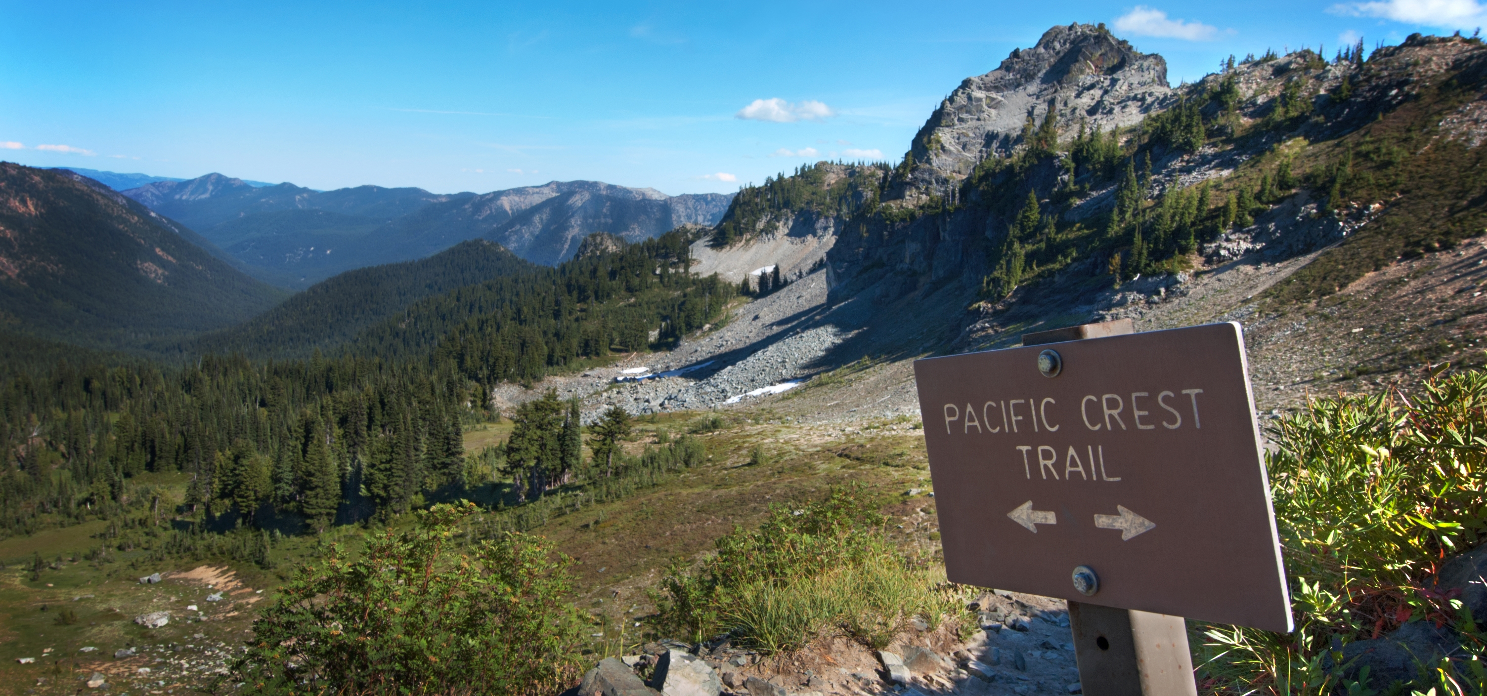
Welcome to the Virtual Pacific Crest Trail Expedition! The Pacific Crest Trail (PCT) is a 2,650-mile-long hike from the border of Mexico to the border of Canada, crossing through the states of California, Oregon, and Washington. This 10-week challenge was designed to build community, foster friendly competition, and motivate others to stay active and enjoy the outdoors in any capacity! Last year, 380 students, staff, and faculty (41 teams) virtually hiked from Mexico to Lassen Volcanic National Park (1,321 miles) with a few teams completing the entire Pacific Crest Trail (2,650 miles)! Check out our Virtual PCT 2023 recap video.
This year, teams will be making a 1,690-mile virtual trek from Mexico up to the California-Oregon border. Whether you have a team or not, all Pepperdine students, staff, and faculty are welcome to participate for free in this event. Registration will be open from January 8 to January 24, 2024.
Explore below to learn how you can participate in this event and track your mileage.
Digital PCT Map
Welcome to our new digital map of the PCT on CalTopo. This interactive map allows you to view, at any time, where you and your team are on the PCT according to the progress you’ve made. This map will be updated weekly as teams update their weekly mileage forms.
FAQs
Email kiana.ramli@pepperdine.edu for any questions you may have. Happy hiking!